November 2016 - Timbs Track to Florentine River

Angie organised and was our guide on our second visit to this lovely track just inside the World Heritage Area.  Just a year ago not many of us could make it on this walk, so it was good that we increased our number this time around.   Angie, George, Lyn and Di set off from Hobart at 9.10am on a warm and sunny spring day.

It was a two hour drive (including a quick call into the NP office at Mt Field) to the carpark at Timbs Track.  We booted up and hit the track at 11.10am.

The track off Maydena Rd

Umm, you might get the picture
The track had seen some rough weather and a number of large trees had come down (worse than last year, apparently).  Navigating these was a bit of a challenge.

Angie always adds colour to the scene!

There was also a bit of scrub across the track to contend with, and some excursions around water-filled sections.  But it was a peaceful walk with fairly easy grades, including some beautiful hushed and mossy myrtle forests.  The cloud cover was making it hard for the sun to come out and play, but otherwise it was a perfect day for walking.

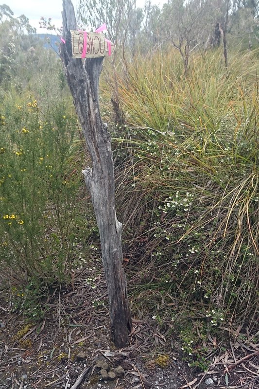
The track is a popular meeting spot for wombats, as you can see from their presents at the bottom of the sign to The Lookout, which we reached at 12.10 (so, one hour in).


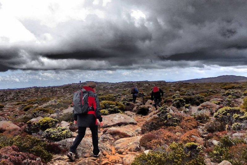
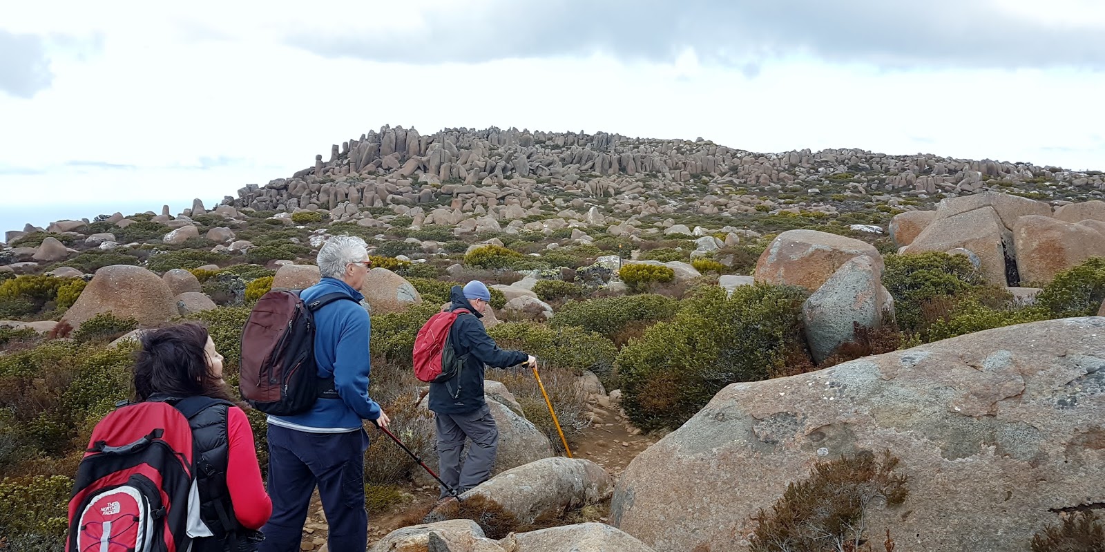
Here, at the midpoint of the walk, the bush opens up to give views to the south west.


These pictures don't do the scene justice

We continued on towards the Florentine River, mostly downhill from here.
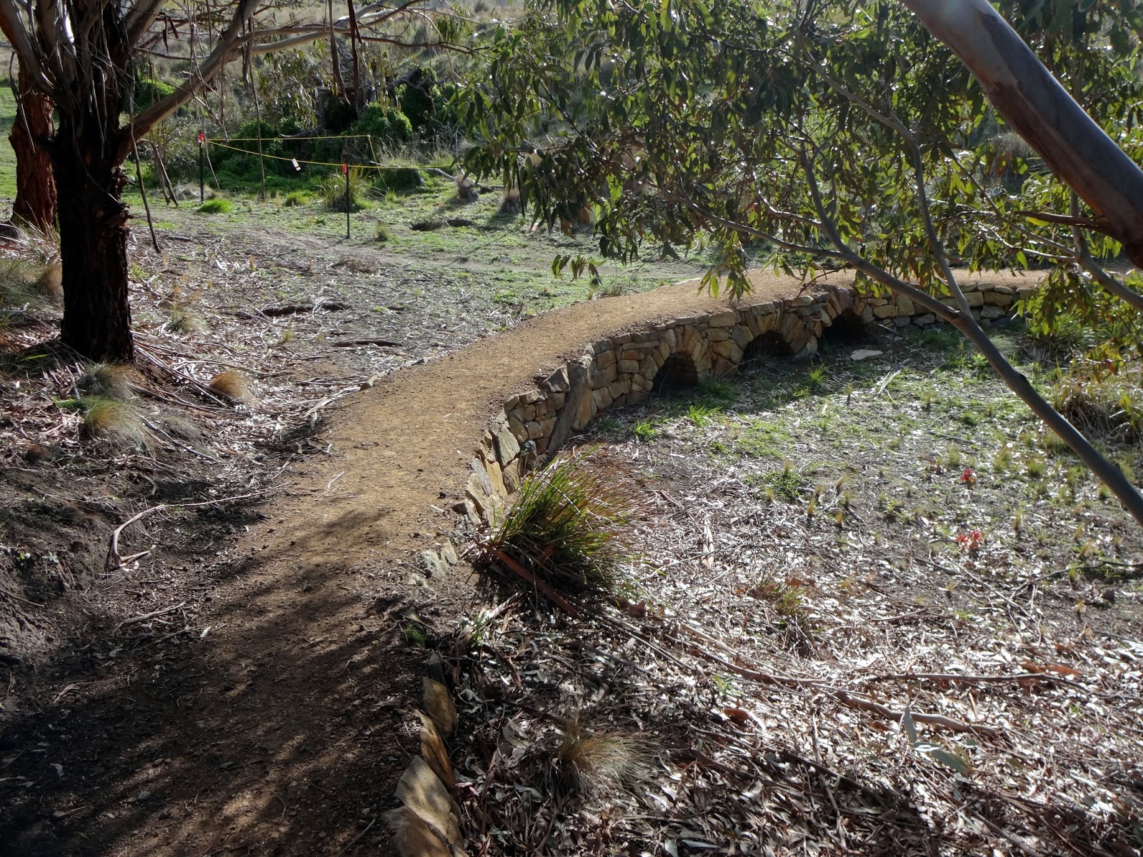
Just near the river is the Ewes' Inn, a recently rebuilt shelter hut.


We reached the pretty river at 1.05pm, where we found the lovely mossy and open picnic spot.


There are a couple of mossies here, but we also saw and heard a Scarlet Robin, and heard a few Olive Whistlers.  

After a half hour R&R, we returned along the same track, catching some different scenes as we negotiated our way around the track obstacles. 

Shades of Lord of the Rings

Back almost at the road, National Parks have recently (since last year?) upgraded a short loop walk which takes you to Twisted Sister, a huge twisted E. regnans.    Taking this loop adds only about 10 minutes to the walk.

Twisted Sister

And from there the track takes you past the Florentine demonstrators' protest site and camp, now decaying back into the bush.  Let's hope the forestry wars don't get inflamed again to the point that protestors have to chain themselves to logs, perch in trees, and sit in front of bulldozers.


We were back at the carpark at 3.40pm, making a total walk time of 4.5 hours.  And home in Hobart a couple of hours later, we were tired but happy, chatted out and kink-free.

October 2016 - IceHouse Track, Mt Wellington

Kat organised this little run up Mt Wellington.  The walkers on the day were Philip, Kat, Bob and Lyn.   The keen group met at 10am at the Springs, in the upper Springs carpark, where the old hotel used to be.   It was estimated at a max 4 hrs walking, with coffee at the new van at the Springs afterwards, a good plan! 

Looking forward to the climb!
It was a cold and blustery day.  As Kat says, we zoomed up and hunkered across the top before we were blown off!


The views from the top were fantastic.


For more info, here's another description of the walk:  (http://tastrails.com/ice-house-loop/)


September 2016 - Cathedral Rock, Mt Wellington

Cathedral Rock is a 9km, 4 hour return walk on the southern outskirts of Wellington Park. Starting by the picturesque North West Bay River at Neika, the track is narrow and quickly climbs 600 meters, zig zagging its way up to the jagged dolerite peak at 880 meters above sea level.   Fantastic views of Southern Tasmania reward you at the summit.

 Lyn organised this expedition.  There was a good weather forecast, but she reminded everyone to be to be prepared for all kinds of weather events. "We need to take a raincoat and warm clothes for protection, as the summit is quite exposed. We also need to take care when walking on the large riverbed pebbles at the start".


Here's a description of the track.  

Download a map of the track here.
 
Directions to Betts Rd at Neika for the start of the walk:
From Hobart take the southern outlet to Huonville, turn right at Leslie Rd, right at Huon Rd and quickly left onto Betts Road. Follow this gravel road for 1km, crossing a small bridge directly before the car park. There is limited parking at the start of track . Map of the driving route here.

Kathleen, Philip, Gary, Bob, George, Wayne and Lyn met at 10.30 am at the Neika carpark.
 
Here's Bob's description:
Climbed Cathedral Rock yesterday, a rather strenuous 4 hour walk. It started with about 45 minutes following a river which was pretty, relatively flat and very pleasant. Then came 45 mins of steep climbing and you finish with 30 minutes of difficult grade walking - the definition of difficult is when you have to use your hands to help you climb up the track. It was tough going but the view was magical. Loved it, but paying for it today with very tired legs!

Now the pictures can tell the story:


Our destination - Cathedral Rock!


Lyn on top


July 2016 - Lauderdale to Seven Mile Beach

Our June walk was an overnighter, to Lake St Clair, thanks to Caroline for organising that!

Given the cold weather, Di looked for somewhere easterly and "un elevated" for this July outing, and remembered a walk that had been recommended by a friend - the clifftop trail from Roches Beach to Seven Mile Beach.  We decided to try approaching this from Lauderdale, making it a bit longer and with more beach walking.  So at 10.40am on a day that looked hopeful but with a chance of a shower, six of us (Bob, Lyn, Gerwyn, Wayne and Di) met at the carpark at the northern end of Lauderdale canal.


Excerpt from Mark H's MTB map for Sandford North

It was lovely and sunny as we headed north along the beach towards Roches Beach.  Although it was dead low tide, the beach still seemed fairly narrow. At the little point between these two beaches, a couple of houses were built very close to the point and the mini-headland was reinforced with dumploads of rocks. Here the water was just touching the rocks and we were able to scamper around on the sand. The point looks pretty vulnerable to the impacts of global warming, so it was surprising to see that another house is currently being built here.

On Roches Beach

Wayne seemed to know where he was going, which was useful!  We moved from the beach to the land just beyond the Roches Beach sailing club, although there is another access up some stairs further on (we used these on the way back).  This is the beginning of the clifftop trail marked on the map.  It is only about a metre wide and shared with MTBs.  We soon passed the turnoff to the left towards the Tangara Trail (I think the trail we were on is also part of the Tangara Trail). It has some nice features and is generally dry and sound.

One of the neat little bridges
Looking back towards Cremorne

There are lovely views along here over Frederick Henry Bay, back towards Cremorne and towards Seven Mile Beach.  We saw and heard planes lining up to land at the airport. The path seemed very popular with walkers, family groups, runners with dogs and MTBers.

This looks like a nice spot for a snack
We had this little cove to ourselves


Arriving at Seven Mile Beach


 After two hours walking, we descended onto Seven Mile Beach.  The sand was thick with washed up seaweed, shells and some amazing sponges.  We found a dune a little way along, with some old tree roots for perching on, and had our lunch.

The view back from our lunch spot

After lunch several of us made a small circuit past the local shop to locate the loos in the park, then back to the beach, where we found Lyn and Bob waiting with hot coffees in hand!

The walk back seemed even more pleasant.  The showers had not materialised, the sky was clear and the day became generally splendid.


Lyn fielded a phonecall from Gary, who had arrived at Lauderdale with grandson Adam.  We found them later on the beach, both wet and having a great time.

At the Roches Beach headland, the tide had risen (of course) and now prevented us getting through on the sand, and the rocks were unfriendly.  Wayne scouted ahead taking the high side of the rocks.  Unfortunately we realised soon that we were actually on people's front yards, which was a bit awkward.  Partway around there was access to a local road where we could have taken the long way around, but we seemed committed and pushed through.  Council and the locals really need to provide a path through this point. 


We got back to the carpark at 3.15pm.  Feeling the stiffness creeping on already (I blame the beach walking!), we retired gratefully for our post walk coffee to The Sand Bar on Ralphs Bay.  The coffees were good, thumbs down on the trendy mason jar glasses (although Lyn voted for them).

This was a two hour walk each way.  Idea for next time to avoid the headland scramble:
Park at the Roches Beach sailing club, and walk further along Seven Mile Beach, OR,
Ride bikes from Lauderdale canal (or somewhere else interesting) to Roches Beach sailing club, leave the bikes there and do the walk.

Thanks to Bob for the photos.