This
month’s walk was the South Cape Track and so we decided to make a weekend getaway
at Southport. Caroline found us some grand accommodation at the historic Jetty
House, Southport which sleeps many and very comfortably catered for our group
of 11; Caroline, Warren, Gary, Rachel, Kat, Philip, Wayne, Gerwyn, Bob, Angie
and Lyn.


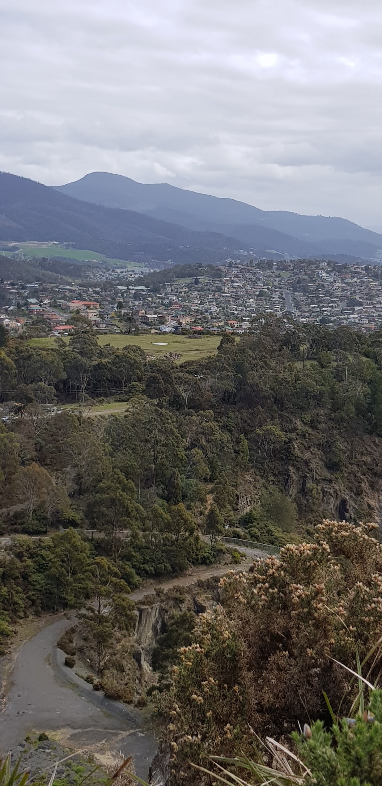
We travelled from Hobart through the lush Huon Valley on Friday 28 August taking about 1.5 hours and arriving mid afternoon.
There was a favourable weather forecast for the weekend and so we took
advantage of the afternoon sunshine to set out and explore Southport bay which
opens to the Great Southern Ocean.


This bay was part of the indigenous Lyluequonny
(Pangherninghe) people’s country. These days Southport consists mainly of
shacks for Tasmanian’s and home to a handful of farmers and fishermen. Southport
was an important town for timber and boat building and for shipping local industry
exports with water access via barges to Hastings Bay and Lune River. Southport
also played an important role in serving the whaling enterprises of early
colonial settlement. Kelp was harvested and dried on the small island known as
Dead Island, in Southport Bay.
After our stroll we caught up with everyone’s news over
drinks and some of us walked up the road to the Southport hotel for dinner. As it was Gary’s birthday and Caroline had made a delicious carrot cake to celebrate, we all had some cake for dessert!

The plan was to walk the
South Cape Bay Track the next day, Saturday 29 August. The South Cape Bay Track
starts at Cockle Creek, which is about 25kms further south on Hastings Caves Rd
at the end of the most southern road in Australia within the Southwest National Park.
We headed out at 9.30am after a leisurely breakfast. The road is not sealed most of the way and takes about
half an hour.
The Southwest National Park is part
of the Tasmanian World Heritage Wilderness Area. Todays walk is one of Tasmania’s Great Short Walks and forms the very last section of the South Coast Track, which
is a challenging 85km hike from Melaleuca in the southwest corner of Tasmania where
hikers get dropped off by plane or boat to start this remote wilderness trek.

There are no roads past the carpark at Cockle Creek.
The walk begins from behind the Rangers
station.
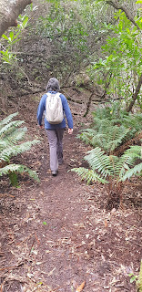
The trail first skirts Cockle Creek, where the walker’s registration box appears and then heads through rainforest.
For the next 3km the trail scrabbles over the gentle rocky slopes of Moulders Hill before opening up
onto duck boarded marshlands. Due to recent heavy rain parts of the track were
very muddy. But thanks to the duck boards, the walking through the marshy Blowhole Valley is easy and the next few kilometres are quickly covered.


The trail then climbs along several gentle hills, through ferns and small trees where we encounter more mud.


You can
hear the roar of the ocean before you can see it but the trail soon emerges onto the rugged dark cliff top surrounding South
Cape Bay.
This cliff top section of the trail is enticingly beautiful. The barren grey rock stands in stark contrast to the lush forest. From here, you can see the entirety of South Cape Bay, the southern tip of Tasmania. It has views of South East Cape to the left, the most southern point of mainland Australia.


And, off in the distance to the right you can see Lion Rock; a rock formation emerging from the ocean that looks like a lion at rest. The turbulent ocean is occasionally riddled with surfers however today there do not seem to be any out. It’s a rare day when the wind isn’t howling but today is calm enough to be able to have our picnic lunch on the rocks in relative comfort.
Continuing down onto South Cape Beach via the
staircase provided on the far side of the cliff face is highly recommended.


Here you can wander along the sand and look at what the wild ocean has washed up, enjoy the remote and secluded beach or if the tide is right, walk out to Lion Rock. There are toilets in the campground inland near the creek leading onto the beach.
Conditions did not allow us to take the steps down
to the beach today. The tide was high on the beach below. So after ample time to
marvel at this wild and remote place it
was soon time to return via the same route to Recherche Bay.
The 15.5km walk took about 5 hours including all breaks. Once back to Cockle Creek some of us relaxed in
the sun on the beach including wading into the sparkling water to cool down the
muscles!


An enjoyable walk in the wilderness (despite
some heavy going in the mud) and now everyone was keen to get back to our
accommodation for showers, drinks and another delicious shared meal well organised by Kat.


Sunday
was a beautiful sunny morning to share a fabulous breakfast cook up at the
House. Even with a generous late check out we were keen to get on our way to
other planned activities before the scheduled wind started. Unfortunately,
the tide was not right to do the Fishers Point walk and Duckhole Lake was
closed due to track upgrading!
Nevertheless, it was another lovely weekend away with friends enjoying everything Tasmanian!Can't wait to do it again!.